Around The Farm. The farming podcast that talks about all things ag. Industry experts share their first-hand knowledge about the seasonal topics that are on your mind - and have some fun along the way. Brought to you by Climate FieldView™
Episodes
Wednesday May 29, 2019
Wednesday May 29, 2019
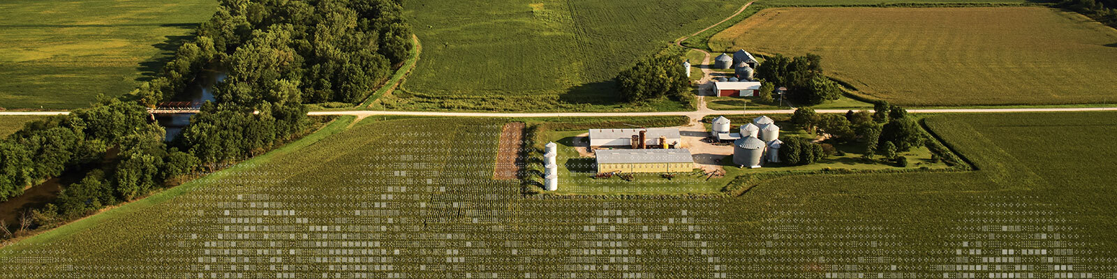
Coming out of the cold, wet Spring and the planting delays it brought, Kris Poulson, co-founder at Sentera, talks about how high-resolution drone imagery helps farmers assess field conditions.
From emergence and throughout the growing season, drone imagery helps complete the picture of field conditions. Hear from an expert on when to collect drone images, how to look at image data alongside other key data, and how to use imagery to make important decisions such as whether to replant and if your potential yield warrants investing in input applications.
Sponsored by:
Around the Farm is brought to you by Climate FieldView™. Go to Climate.com/bayer-PLUS to find out how to get a year of FieldView Plus free.
No comments yet. Be the first to say something!